320 Acre forestry lot
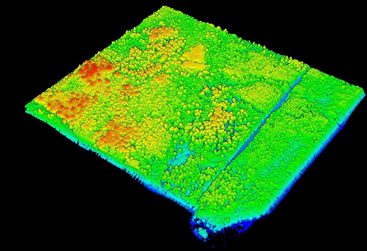
Client wanted Canopy height model, a DEM and aerial imagery of his land. I was able to fly over his land and produce the needed raw data and deliverables for him.
 DIRIGOAERIAL & GIS
Home
DIRIGOAERIAL & GIS
Home
Selected work
Client wanted Canopy height model, a DEM and aerial imagery of his land. I was able to fly over his land and produce the needed raw data and deliverables for him.
Flew lidar over part of the University forest in Old Town Maine to test the capabilities of our M400 and L3 sensor. Using an DRTK3 as my base station allowing me to acquire a 3 cm accuracy for both horizontal and vertical. Using 6 checkpoints as my accuracy checks
Outcome: In 30 mins I was able to fly over 200 acres of forest twice for two different angles to collect high resolution accurate lidar data.
Catalog of maps made in GIS for towns in Penobscot all for public safety use.